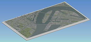
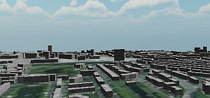
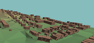
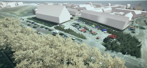
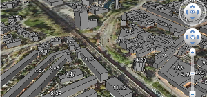
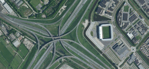
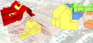
Suppose that you want to make a mock-up of a city or a video or 3D visualisation of a village. Maybe you want to start a 3D print job or perform a spatial analysis. Good to know that Bestel3D.nl is delivering height data of buildings, vegetation and terrain models. We also provide aerial imagery and satellite data.
Latest News (6 March 2024): Updates and extra map layers in our improved MapsAndMore platform.
Our data and software can be found at clients such as: municipalities, engineering firms, mock-up makers and 3D print companies. We deliver data after issueing a price quotation. Bestel3D.nl is also delivering aerial images. More information in our news section, project example section and in the applications section.