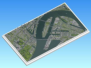
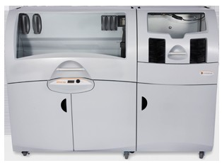
Fysical mock-ups are in demand nowadays: There is often a need to visualize buildings, roads and waterways in a realistic fashion. Mock-ups are used during public information sessions related to a new motorhighway construction program, an expansion of a city, the introduction of a water flooding protection program, and so on. A fysical mock-up is also a nice present upon the succesful completion of a project.


By applying our 3D geographic data, it is possible to create a 3D mock-up. Within a few minutes one can order a cut-out for a random area in The Netherlands through our 3D Data Ordering Website. The geographic data sets contain buildings and vegetations including heights and other objects. It is of course possible to order aerial images as well in order to get a full representation of a complete area.
